
The history of Cappadocia explains why the region feels different from anywhere else in Turkiye. It is a story of geology first, then survival, then faith, trade, and a kind of stubborn human creativity that never really stopped. Today Cappadocia carries several meanings at once: a UNESCO World Heritage landscape, a center of Turkish tourism, a living region where cave rooms sit beside boutique hotels and vineyard terraces, and a place where ordinary village mornings still happen behind the famous views.
Table of Contents
Cappadocia Activities
Things to See and Do in Cappadocia
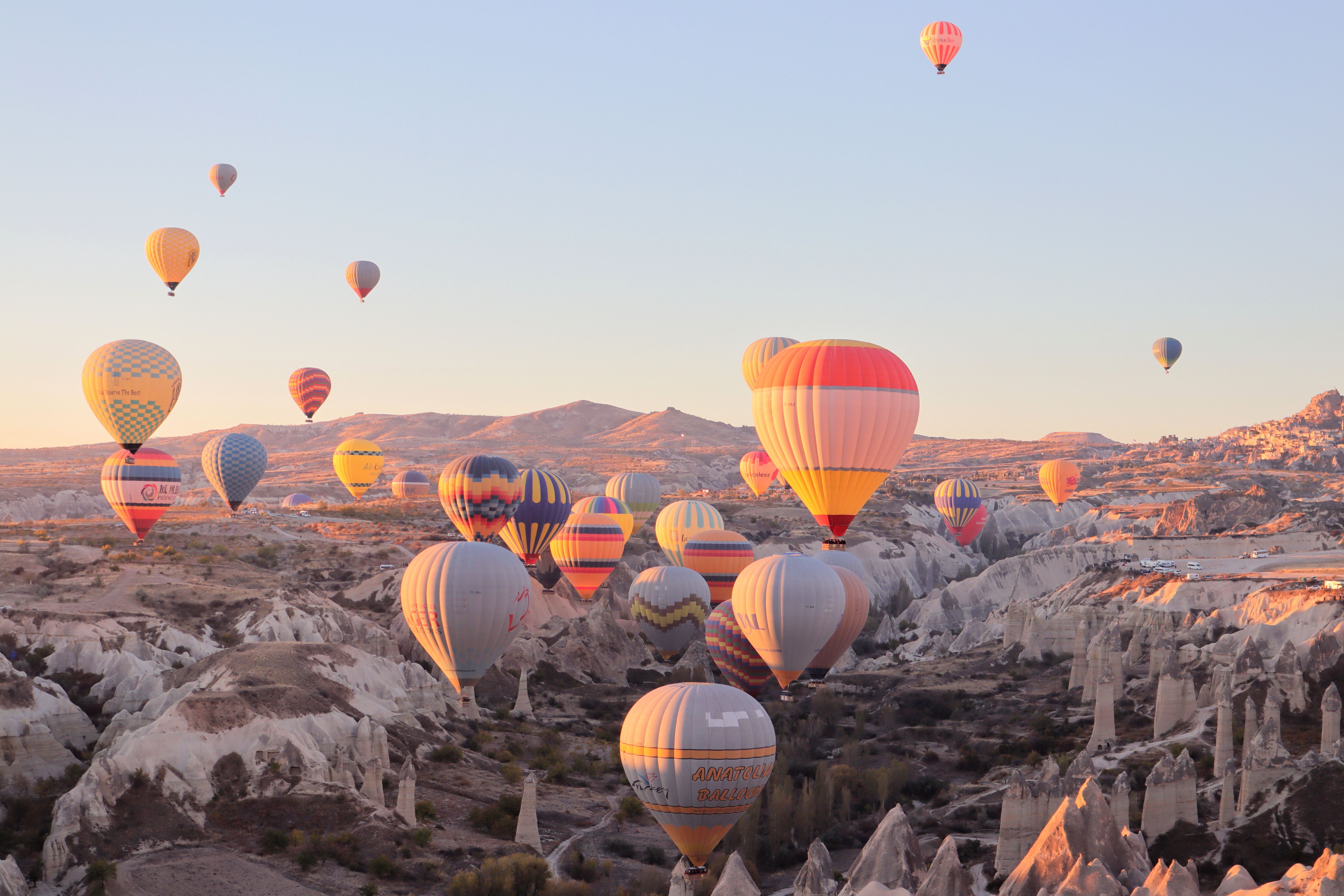
CAPPADOCIA SUNRISE HOT AIR BALLOON RIDE
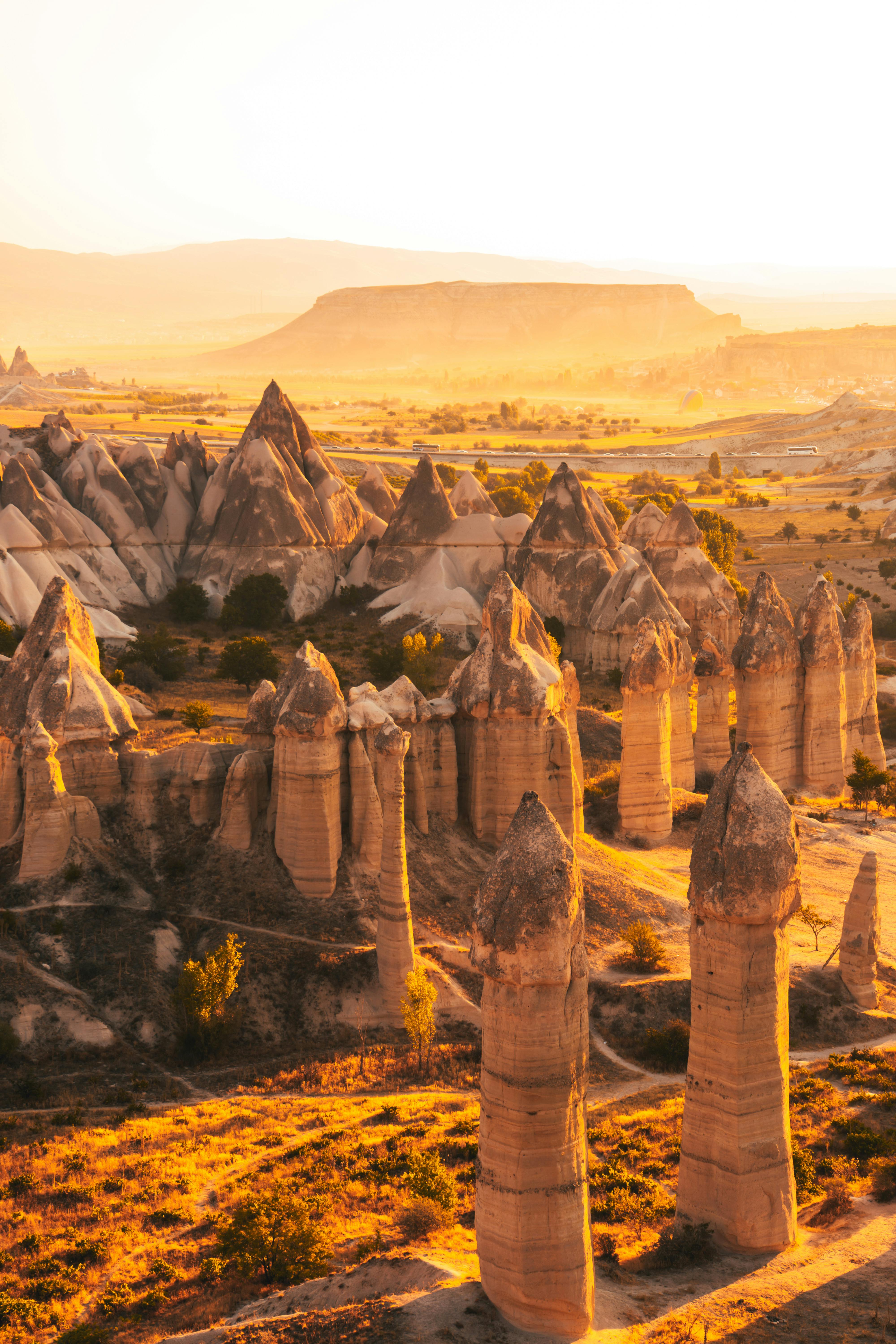
SUNSET HIKING IN VALLEYS & CANYONS

GOREME OPEN AIR MUSEUM & CAVE CHURCHES
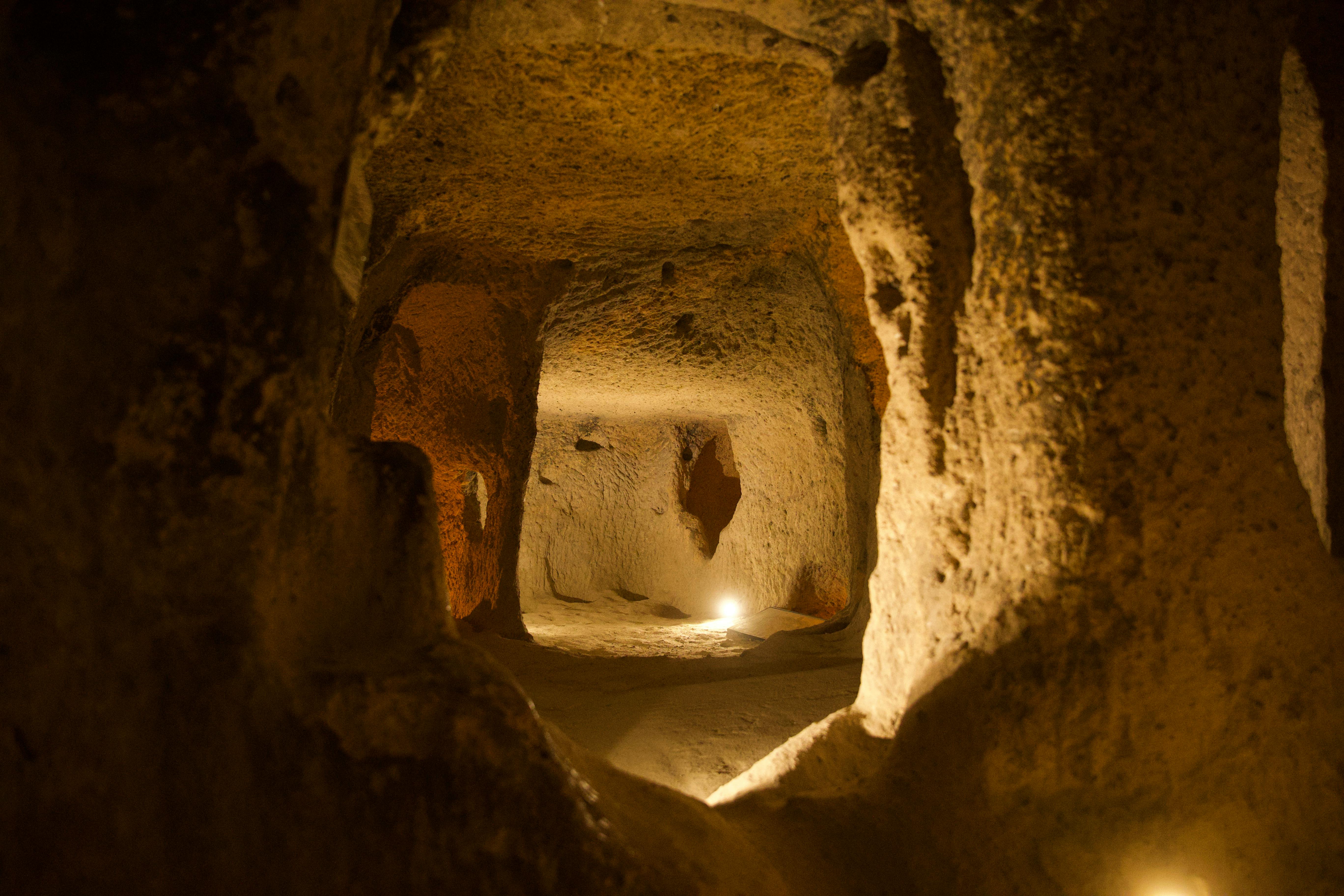
CAPPADOCIA UNDERGROUND CITIES DIVE
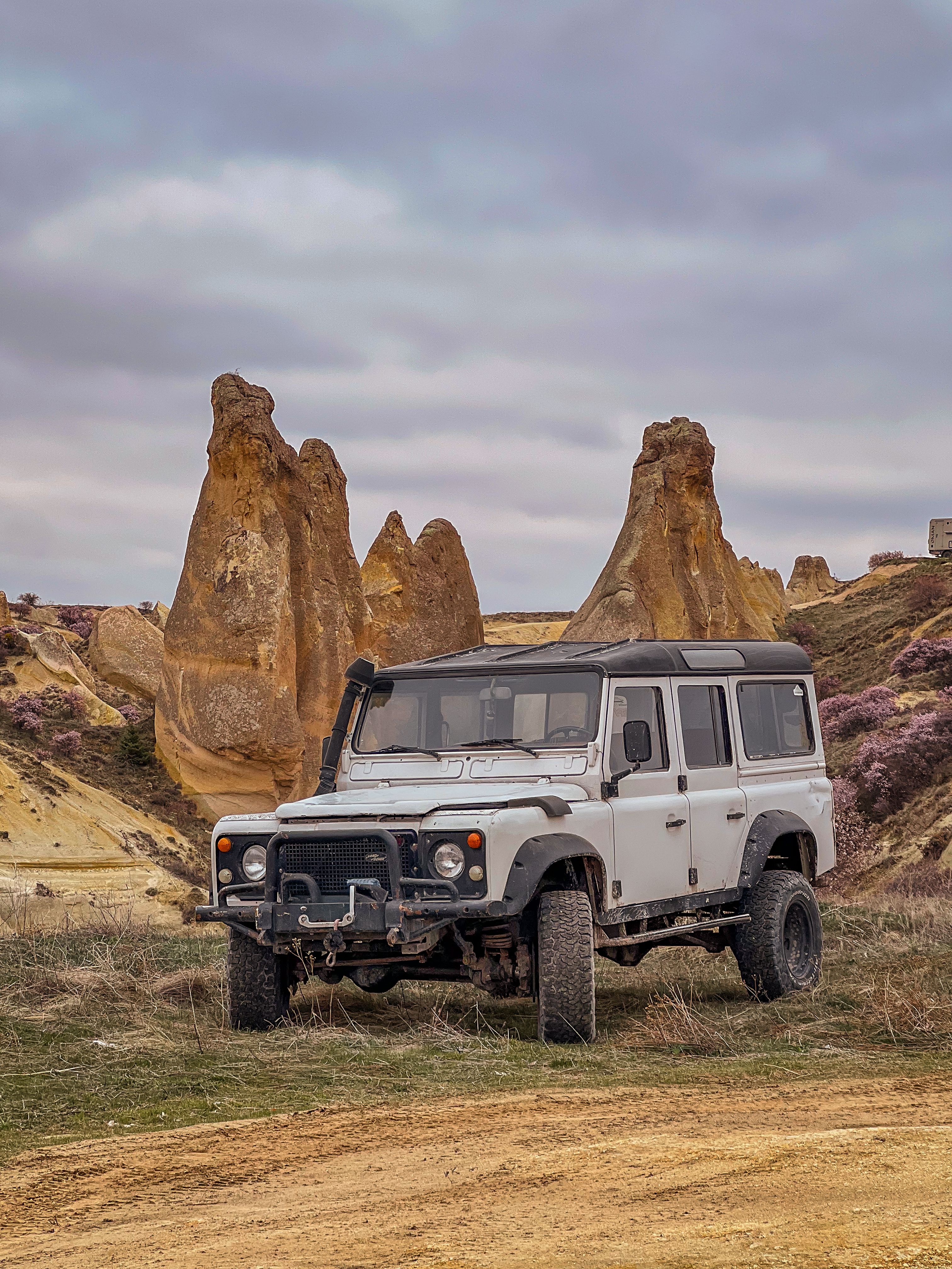
4X4 JEEPS IN VALLEYS ADVENTURE
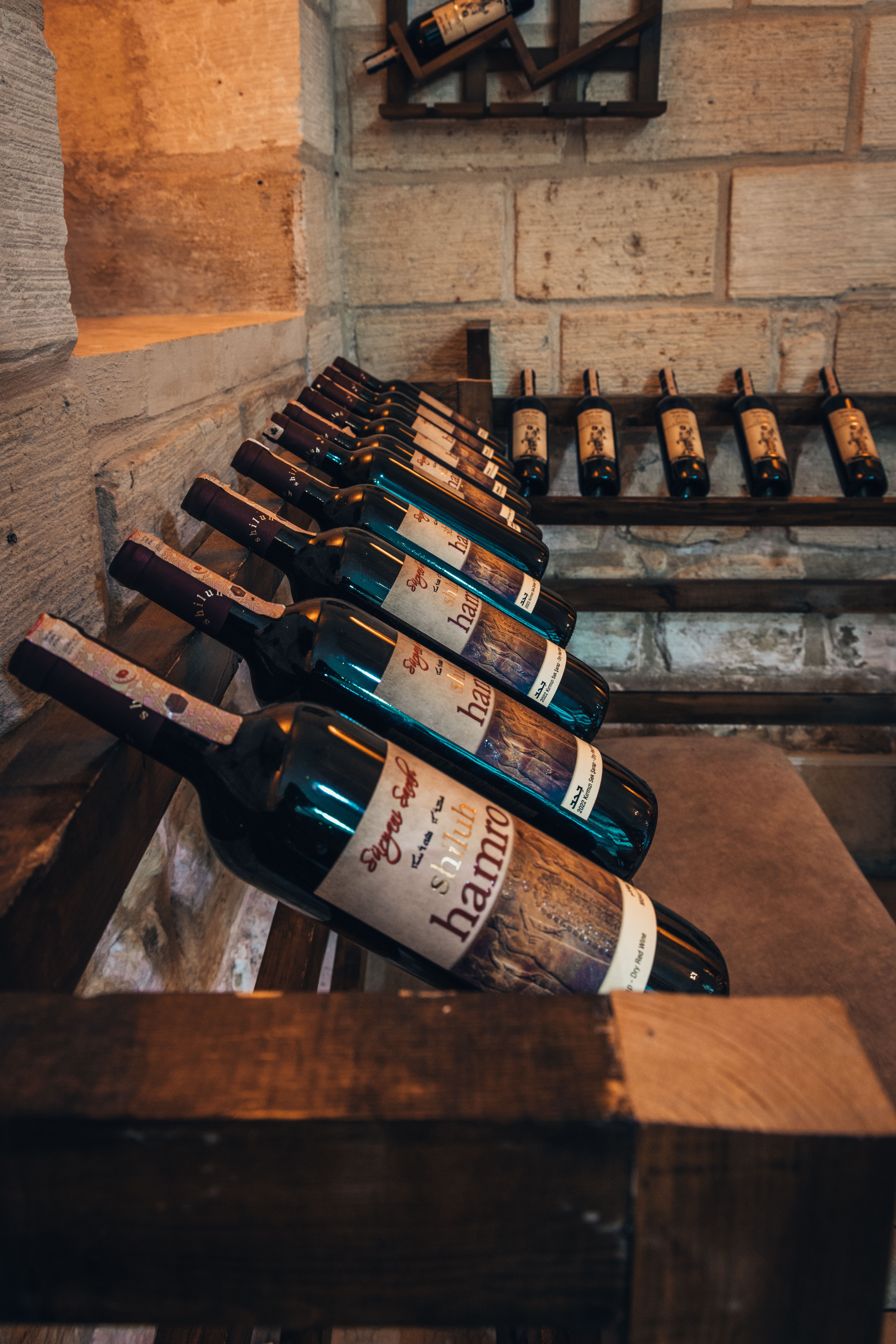
LOCAL WINE TASTING & WINE CELLAR
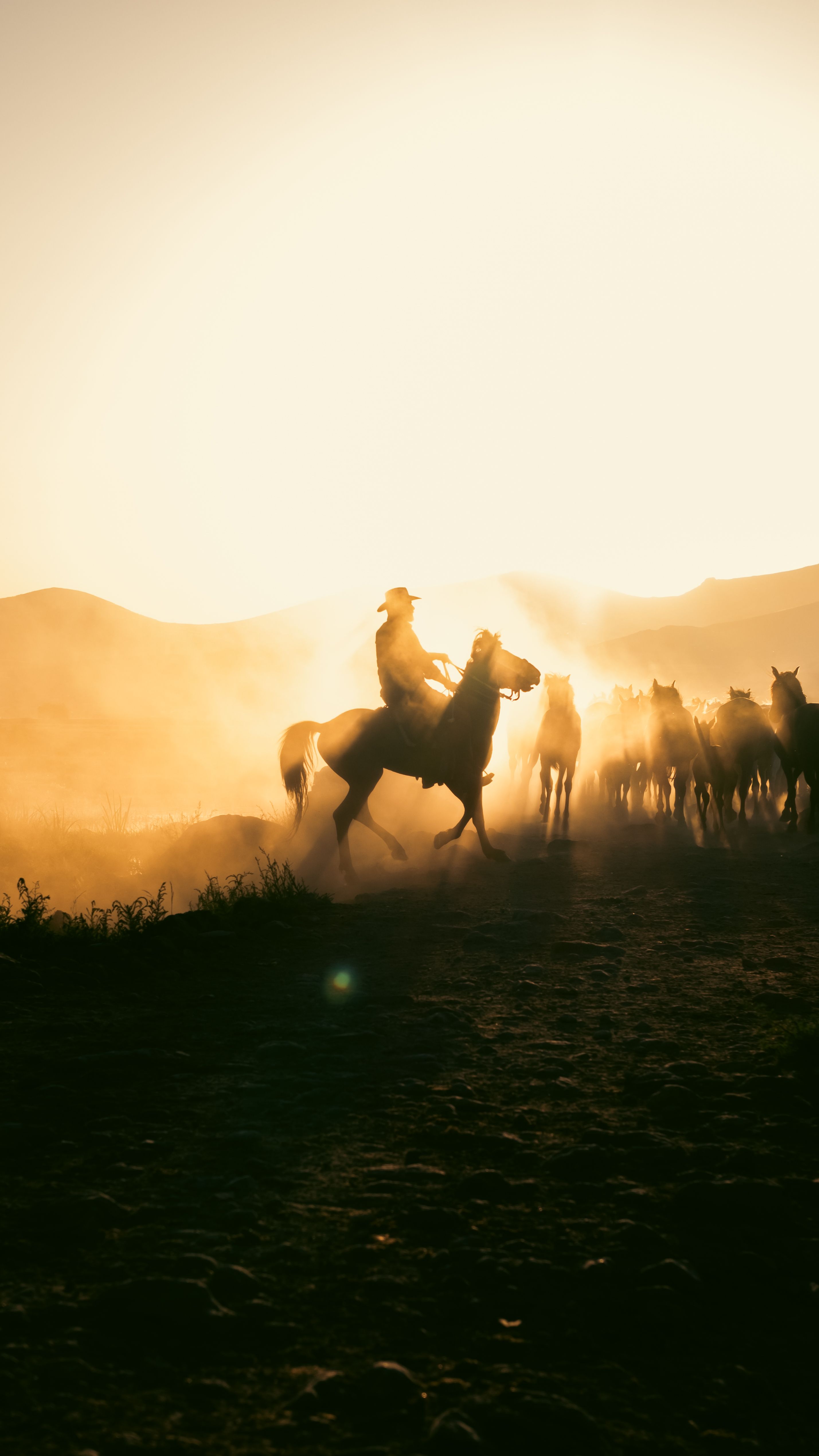
SUNRISE & SUNSET HORSEBACK RIDING
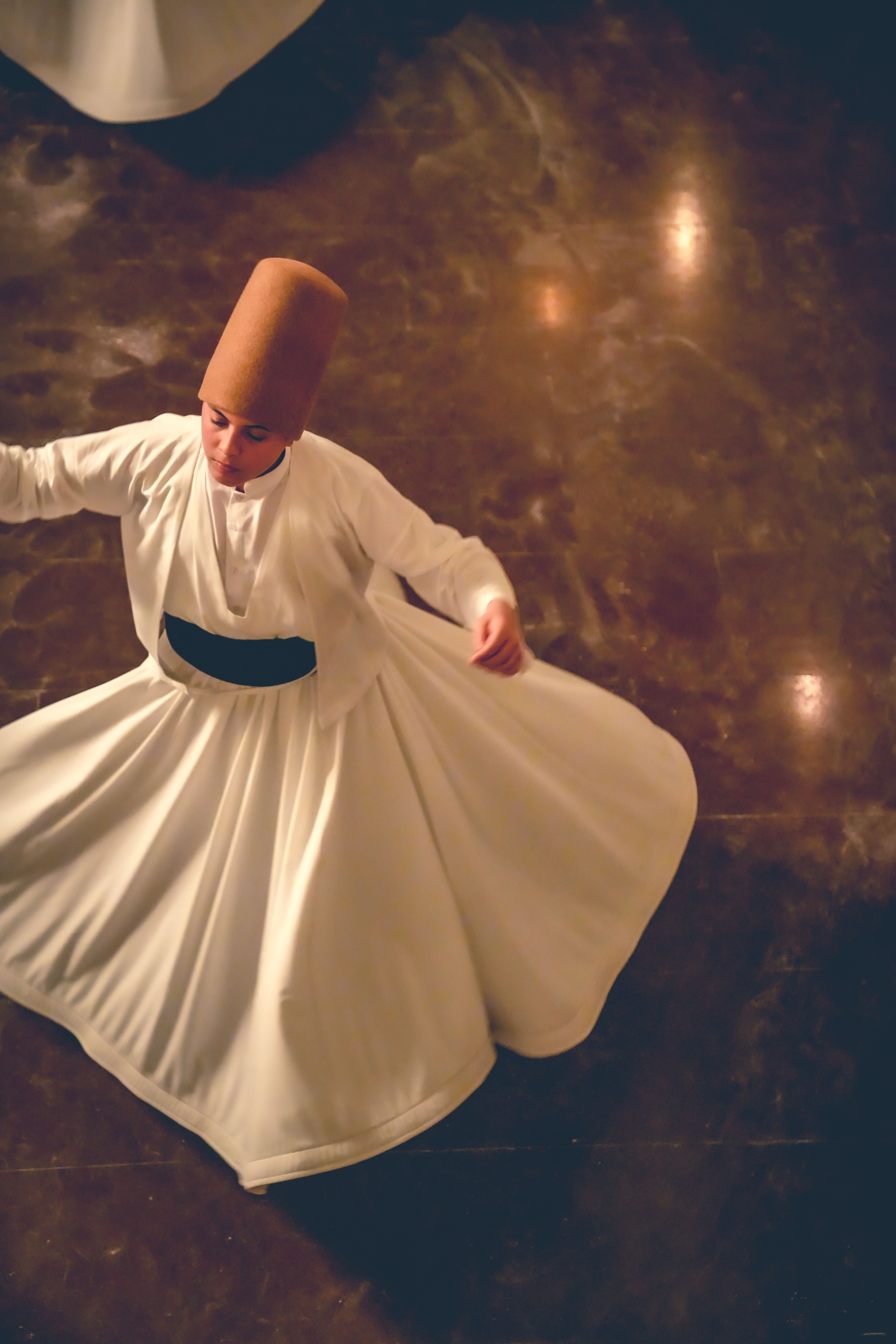
SUFISM & SPIRITUAL EXPERIENCE
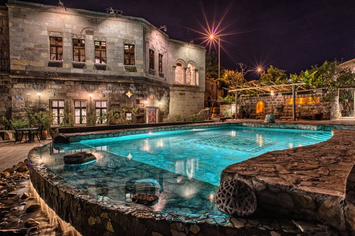
ORIGINAL CAVE HOTEL EXPERIENCE

MT. ERCIYES & MT HASAN WINTER SPORTS
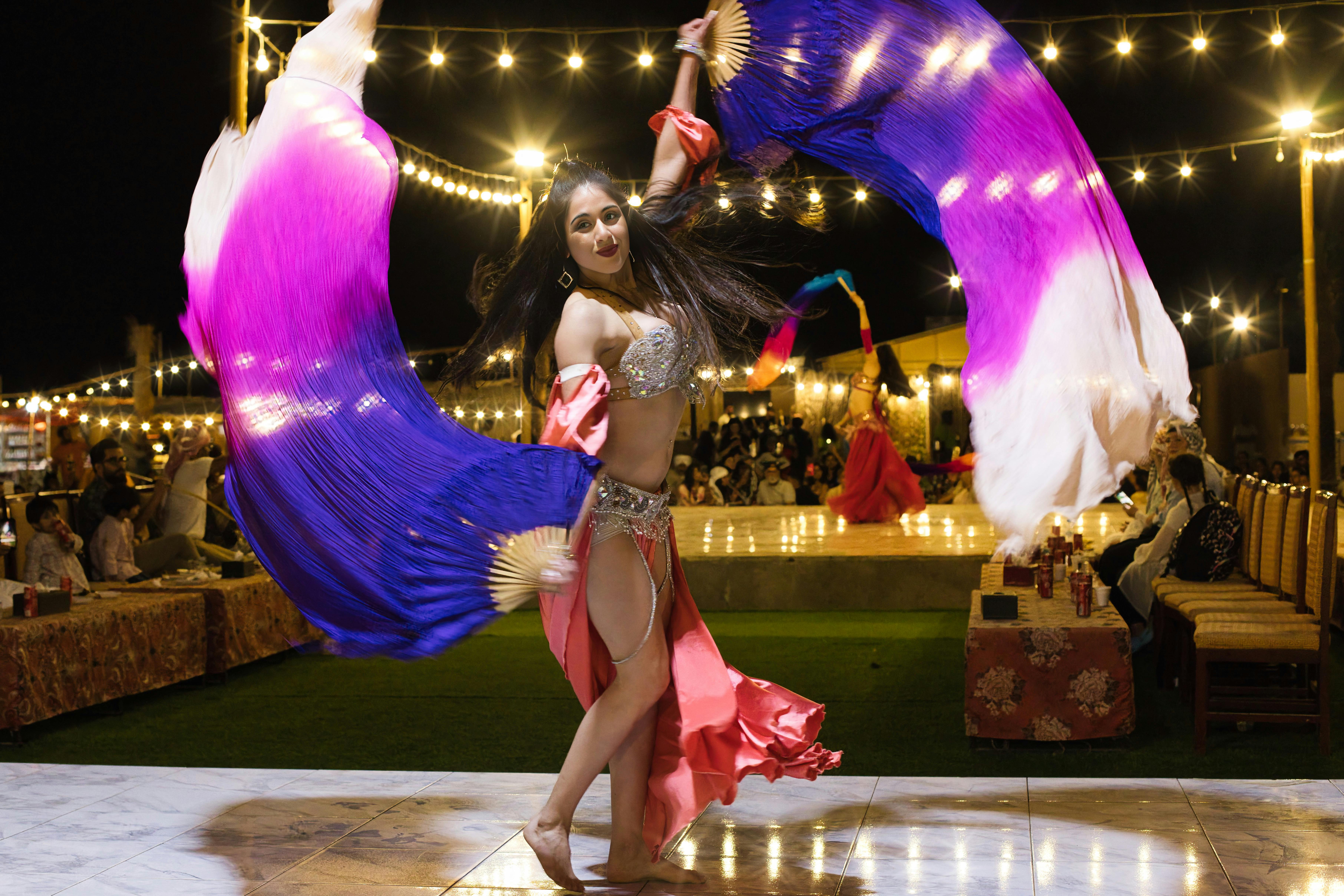
TURKISH NIGHT SHOW WITH LOCAL DRINK
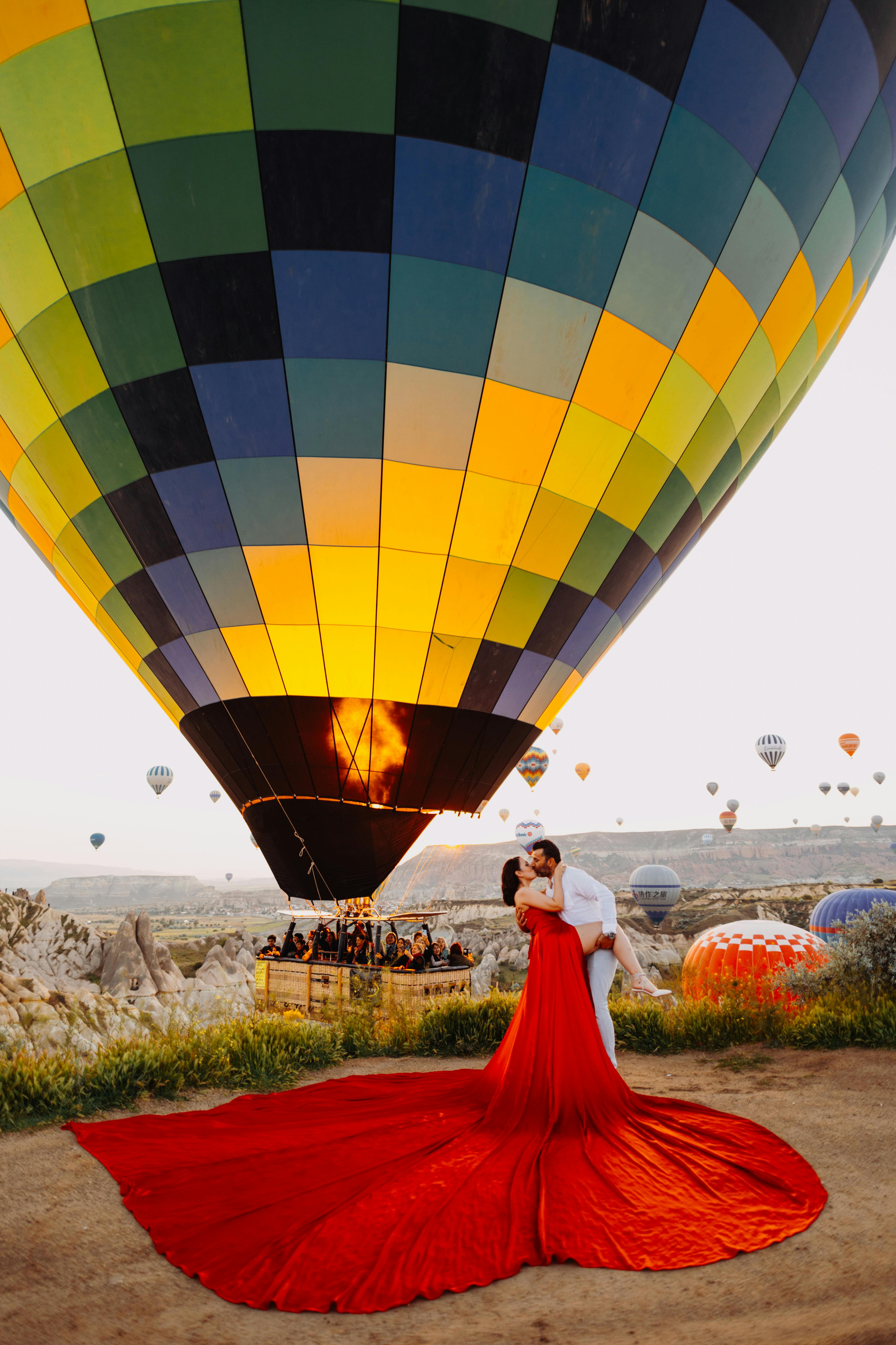
PROFESSIONAL PHOTOGRAPHER & PHOTOSHOOT
History Of Cappadocia
| Period | Approximate dates |
|---|---|
| Volcanic formation | 10 to 14 million years ago |
| Hittite period (Hatti) | c. 1750 to 1200 BC |
| Persian period (Katpatuka) | 6th century BC to 330 BC |
| Cappadocian kingdom | 331 BC to 17 AD |
| Roman period | 17 AD to 395 AD |
| Byzantine period | 395 to 1071 |
| Seljuk period | 1071 to 1308 |
| Ottoman period | 1308 to 1923 |
| Republic of Turkey | 1923 to present |
What Does Cappadocia Mean?
Cappadocia is the English form of an ancient regional name connected with the Old Persian word Katpatuka, commonly explained as Land of Beautiful Horses. Whether every scholar agrees on the exact translation is a fair question. But the horse connection makes sense the moment you stand on the wide plateaus around the region. This was useful land for movement, trade, military routes, and animals that mattered to ancient power structures.
Cappadocia was never just one town. Today, travellers use the word for the tourism area around Goreme, Uchisar, Urgup, Avanos, Ortahisar, and Cavusin, plus the nearby underground cities. Historically, Cappadocia was much larger, spreading across parts of central Anatolia including areas of modern Nevsehir, Kayseri, Aksaray, and Nigde.

This is why people get confused on tour. A guest will ask, “Are we in Cappadocia now?” while standing in Goreme. Yes, definitely. Then they ask the same question near Kayseri. Also yes. Cappadocia is a region, not a single dot on a map, and understanding that changes how you move through it.
How Volcanoes Created Cappadocia
Cappadocia begins with volcanoes, which is a dramatic way for any destination to introduce itself. Long before anyone carved a church or dug a tunnel here, volcanic activity from mountains such as Erciyes, Hasan, and Melendiz covered the area with layers of ash, lava, and soft volcanic tuff. The eruptions were not events. They were a long geological process that left behind a landscape unlike anywhere else in Anatolia.
History of Cappadocia dates back over millions of years. The wind, rain, and temperature change shaped this soft stone into valleys, ridges, cones, and the fairy chimneys that visitors photograph from every possible angle. The hard capstones on some formations protected the softer rock underneath, creating the mushroom-like silhouettes that have become the modern symbol of the region.
This geology is not just scenery. It is the foundational reason Cappadocia became Cappadocia. The soft tuff could be carved with simple tools, but it held its shape well enough to support rooms, tunnels, churches, animal shelters, and storage spaces. People here did not just live on the land. They moved into it.
Cappadocia Before the Great Empires
Human activity in central Anatolia reaches far into prehistory, and Cappadocia sits in a part of the world where early communities figured out how to farm, trade, store food, and protect themselves relatively early. The region was not an empty place waiting for empires to arrive. It was already working land.
The valleys offered shelter. The plateaus connected different parts of Anatolia. Volcanic soil supported agriculture in certain areas, particularly vineyards and orchards. Obsidian from volcanic zones also circulated through prehistoric trade networks because it could be worked into sharp tools.
By the time written records become clearer, Cappadocia was already part of wider Anatolian exchange. Goods, animals, ideas, and beliefs moved through this region. The habit of Cappadocia being a crossroads started well before the famous empires put it on their maps.
Hittites, Trade Routes, and Early Power
The Hittites were among the great powers of Bronze Age Anatolia, and Cappadocia fell within the wider world they influenced. Their capital, Hattusa, was to the north, but the networks of central Anatolia connected deeply with the region. Trade routes in this period were not romantic roads with helpful signs. They were practical lines of survival and power.
Tin, textiles, animals, food, metalwork, and messages moved across Anatolia. Whoever controlled the routes controlled money, security, and influence. Some things in history stay consistent: today we call it logistics and track it in a spreadsheet.
The movement of goods also meant the movement of people and ideas. Cappadocia’s position in the middle of Anatolia meant it was always absorbing influences from multiple directions, not just receiving orders from one center of power.
Persian Cappadocia and the Land of Beautiful Horses
Cappadocia became more clearly defined as a political region during the Persian period. Under the Achaemenid Empire, Anatolia was organized into provinces called satrapies, and Cappadocia became one of them. The Persians valued the region for its position and resources, particularly its horses.
Cappadocia developed a reputation connected with horse breeding during this period. This is where the Land of Beautiful Horses idea enters the story most strongly and where the regional name starts to carry real meaning.
There is an important cultural point here. Cappadocia was rarely a place where one influence erased what came before. Persian, Anatolian, Greek, Roman, Christian, Turkish, and local traditions all layered over each other across centuries. Think of it like a very old stone wall: every generation added something, and nothing was completely demolished.
Cappadocia Under Rome
Cappadocia entered the Roman world and became a Roman province in the first century CE. Roman control changed the region’s military and administrative importance. Roads, garrisons, and frontier concerns mattered because Cappadocia sat near the eastern edge of Roman power, facing directions that Rome watched carefully.
This period also prepared the ground for one of Cappadocia’s most important historical roles. Early Christian communities were developing across Anatolia, and the region’s geography offered exactly what vulnerable communities sometimes needed: distance, carved shelter, and places to gather away from obvious public attention.
The connection between Rome and early Christianity in Cappadocia is not a coincidence of timing. It is a direct relationship between the political pressure of one era and the spiritual resilience of the next.
Early Christianity and the Cave Churches
For many visitors, Cappadocia’s Christian heritage becomes fully real inside the rock-cut churches of Goreme Open Air Museum. From outside, some churches look almost modest — a low entrance, plain stone, no obvious grandeur. Step through the door and suddenly there are painted domes, saints, biblical scenes, and colors that have lasted through centuries of smoke, weather, and human drama.
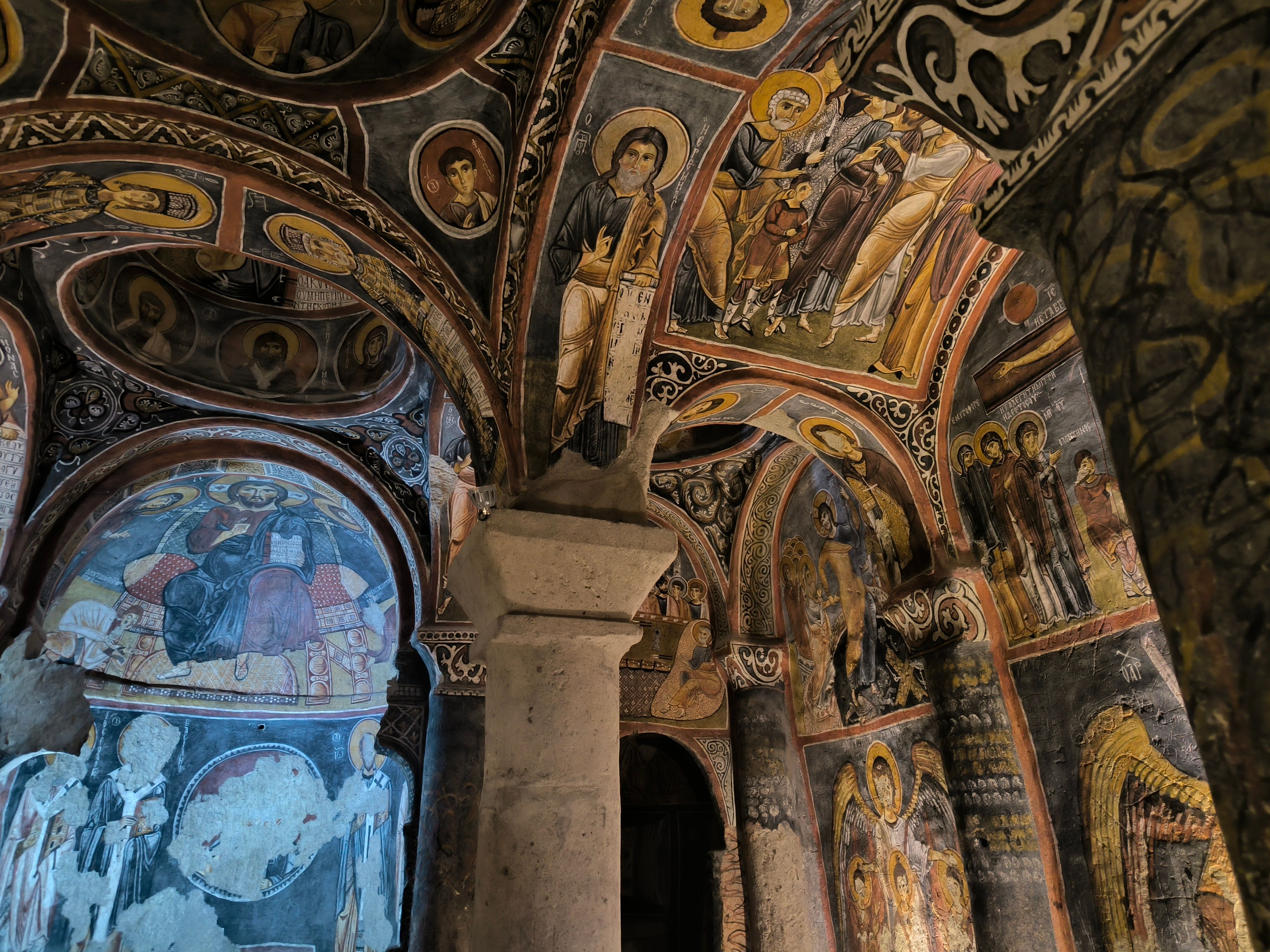
The Goreme valley and surrounding sites became important centers of religious life during the Byzantine period. Monks, priests, local communities, and patrons created churches, chapels, refectories, and monasteries carved directly into the tuff. Some are large enough to feel genuinely monumental inside. Others are barely larger than a small room.
The frescoes were not decoration for their own sake. They were teaching tools, devotional images, and statements of communal belief in a period when many people could not read. Painted walls told the stories that mattered. Without context, visitors walk through and say, “Nice paintings.” With context, those walls become a different experience entirely.
Underground Cities and the Art of Survival
If Cappadocia above ground feels like another planet, Cappadocia underground feels like a different level of human determination altogether. Derinkuyu and Kaymakli are the two most visited underground cities, but they are part of a wider network of carved underground spaces distributed across the region. The exact number of underground settlements is still being studied.
Derinkuyu is about 30 kilometers from Nevsehir and descends multiple levels into the earth. It includes stables, storage rooms, kitchens, ventilation shafts, wells, a lower church area, and communal spaces. Kaymakli has a different layout — lower ceilings, wider tunnels, a more maze-like feeling — and the two cities are actually connected by a tunnel, though that passage is not currently accessible to visitors.
Be aware: this is not the place for you if you are uncomfortable in narrow spaces. Some passages are low. Some require bending. Cappadocia is generous to history lovers, but it does not always accommodate upright posture.
The underground cities were built for survival, not comfort. Rolling stone doors could seal off passages. Ventilation shafts moved air through multiple levels. Storage rooms held enough food and water to allow communities to stay hidden for a period during raids, conflict, or instability. Nobody went down there by choice if the situation above was calm.
Byzantine Cappadocia and Monastic Life
During the Byzantine period, Cappadocia became one of the most remarkable monastic landscapes in Anatolia. Valleys such as Goreme, Zelve, Rose Valley, Red Valley, and Ihlara held churches, hermit cells, dining halls, and communal spaces carved into the rock. The concentration of carved religious architecture here has no equivalent in the region.
The monastic life of Cappadocia was shaped directly by its geography. Some communities wanted isolation without complete disconnection. A monk could live in a carved cell, join others for worship, work in the valley, and remain part of a wider religious network. The rock gave silence. The valleys gave community.
Ihlara Valley is especially worth understanding separately from the Goreme cluster. It combines a deep canyon, a river, and rock-cut churches distributed along walking routes through the landscape. In Goreme, history feels concentrated and organized. In Ihlara, it stretches with the land, and the relationship between people and their natural environment becomes clearer.
Tourists often rush through the Byzantine layer because they assume one cave church covers the topic. It does not. Each church has different painting styles, different damage histories, different patron contexts, and different relationships with the community that built it.
Seljuks, Caravan Routes, and Ottoman Villages
After the arrival of the Seljuk Turks in Anatolia, Cappadocia changed again. Trade routes, caravanserais, Islamic architecture, and new settlement patterns became part of the region’s life alongside what had come before. The layering did not stop.
Caravanserais were not just old roadside hotels for tired camels. They were organized, secure rest points where merchants could protect goods, exchange information, care for animals, and continue across long distances. Whoever built and maintained them had real influence over the movement of trade across Anatolia. The Seljuk investment in this infrastructure was substantial.
Under the Ottomans, Cappadocia remained a region of villages, agriculture, local crafts, and mixed communities. Muslim and Christian populations lived in various towns for centuries. In Mustafapasa, formerly known as Sinasos, the stone house architecture still carries the signature of the Greek Orthodox community that lived there before the population exchange of the early twentieth century. Walking those streets, you read the social history of the town in the buildings themselves.
Cappadocia in Modern Turkiye
Modern Cappadocia is one of Turkiye’s most recognized travel destinations, drawing visitors for hot air balloons, cave hotels, valley hikes, underground cities, open-air museums, pottery workshops, wine, and photography. The balloon image became the modern visual symbol of the region, particularly around Goreme. It is beautiful. I will never argue against that.
Watching balloons rise above the valleys on a clear morning is one of those moments that can make even a guide who has seen it hundreds of times pause for a second. Just a second. Then someone in the group asks where the nearest restroom is, and the morning continues.
Cappadocia today is not only a tourism product, though. Local families run hotels, restaurants, farms, pottery workshops, vineyards, and tour companies. People still grow grapes, make pekmez, dry fruit, keep animals, and use cave storage rooms in practical ways. Tourism has helped protect and restore some heritage sites, but it also brings pressure: crowds, construction, erosion, and careless behavior can damage fragile landscapes and painted surfaces that took centuries to create. The future of Cappadocia depends directly on how that balance is managed.
What Cappadocia Means Today
Today, Cappadocia means heritage that still breathes.
For Turkiye, it is one of the country’s strongest cultural and natural symbols. It holds the depth of Anatolian history in one region: ancient trade routes, Byzantine painting traditions, underground defense architecture, Turkish village life, and modern hospitality all present in a landscape that looks like nowhere else. It forms part of the global image of Turkiye alongside Istanbul, Ephesus, Pamukkale, and the Mediterranean coast.
For travelers, Cappadocia should mean wonder and responsibility in equal measure. The churches are not stage sets. The valleys are not simply photo backgrounds. The underground cities are not theme parks designed for a morning visit. They are evidence of real communities responding to fear, faith, weather, politics, and land across a very long stretch of time.
For people who live here, Cappadocia means home. Behind the famous views are school mornings, family businesses, vineyard harvests, winter heating costs, weddings, and ordinary repairs. The region is genuinely remarkable. It is also a place where people live, not a preserved museum of itself.
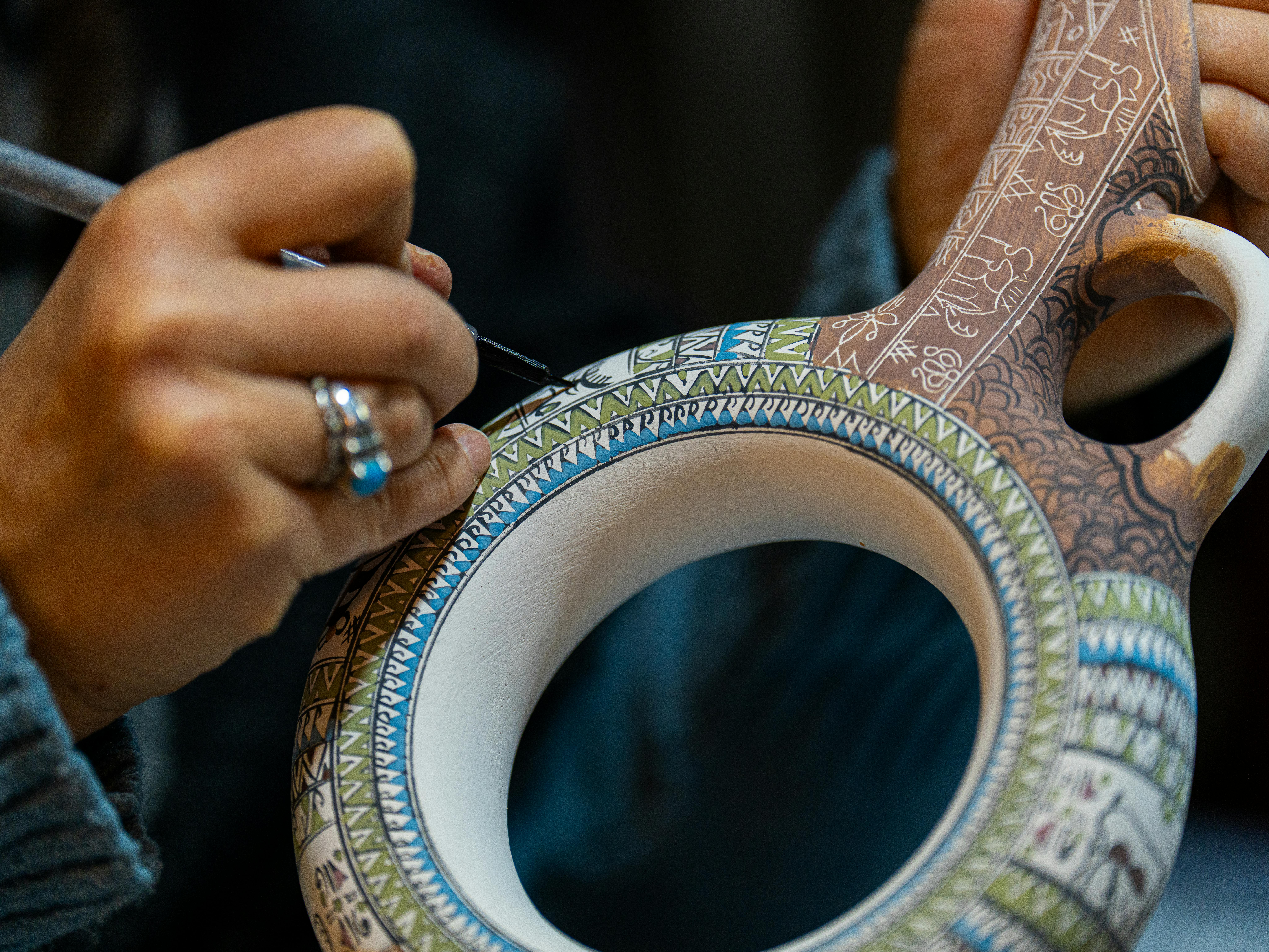
The cave once used for grain storage may now be part of a boutique hotel. The valley once used by monks is now a hiking route. The pottery traditions shaped by Kizilirmak River clay still continue in Avanos workshops where the wheel has not changed much in centuries.
Historical Spots to Visit
- Goreme and Zelve Open Air Museums
- Derinkuyu and Kaymakli Underground Cities
- Selime Monastery
[CURRENT INFO] for museum schedules
What to do in Cappadocia?
Best Activities
- Hot-air balloon ride at sunrise
- Visit Goreme Open-Air Museum, Zelve Open-Air Museum
- Explore the underground cities
- Hike and watch sunset through Love Valley, Rose Valley, Red Valley
- Horseback riding through the valleys
- Jeep safari through the valleys
- Explore Pasabag (Monks Valley) for mushroom rocks
- Hike Ihlara Valley and Selime Monastery
- ATV sunset tour
- Join Green Tour & Red Tour
- Traditional Turkish night show
- Watch the Whirling Dervishes Sema Ceremony
- Pottery workshop in Avanos
- Wine tasting in Cappadocia
- Turkish cooking class
- Turkish Coffee and Fortune Telling
- Sunrise photo shoot, flying dress
- Running Horses Photoshoot with Drone
- Private Photo & Drone Session in Carpet Gallery
- Hammam, Turkish Bath experience
- Carpet weaving demonstration
- Turkish Mosaic Lamp Workshop
- Sunset or Sunrise Camel Ride Experience
- Electric Bike ride
- Classic Car Ride at sunset hot air balloons
When to Go To Cappadocia?
Most people assume summer is the obvious answer. More sun, right? But July in Goreme hits +35°C, the balloon queues are brutal, and the valleys feel more like a theme park than a landscape. That’s the version nobody posts on Instagram.
So here’s the short answer, so you can plan smart.
Look, if I had to give you one piece of advice, it’d be this: come in September or October. That’s my personal favourite window — the harvest is in, there are fresh grapes at every guesthouse, the crowds have thinned out after mid-September, and that golden late-afternoon light on the fairy chimneys? Nothing like it.
Spring runs a close second — April and May bring wildflowers across the Rose Valley, temperatures stay comfortable between 10 and 20°C, and balloon cancellations drop right off once the winds settle in May.
Summer’s doable, but you need discipline — out early, rest by midday, back out at sunset — and budget for prices running about 40% higher than the rest of the year.
Winter surprises people every time. Snow on the fairy chimneys looks genuinely extraordinary, balloon flights happen roughly half the days, and hotels drop their prices dramatically. Every season has its case. But September?
Where to Stay in Cappadocia?
Cappadocia has three main bases: Goreme, Uchisar, and Urgup. Each one is a different experience.
Goreme is where most travelers land. It’s central, walkable, and packed with cave hotels. It’s also the loudest. If you want balloon views from your terrace and easy access to the Open Air Museum, stay here.
Uchisar is quieter. The castle sits above the valley and the hotels are genuinely beautiful — think boutique stone rooms and candlelit dinners. Ideal for honeymoon couples.
List of most romantic hotels Cappadocia…
Urgup is for people who want local life. Markets, wine bars, actual Turkish neighbors. Less touristy. A bit more driving required.
- Budget: Kelebek Cave Hotel, Goreme — reliable, central, fair price.
- Mid-range: Doors of Cappadocia, Goreme — great terrace, good staff.
- Splurge: Museum Hotel, Uchisar — genuinely one of the best hotels I’ve ever set foot in.
Best Cave Hotels of Cappadocia
- Kayakapi Premium
- Caves Ariana Sustainable Luxury Lodge
- Museum Hotel (Relais & Châteaux)
- Sacred House
- Argos in Cappadocia
Cappadocia Sightseeing Tours
How to Get Around
Getting around Cappadocia is not complicated, but it does require a bit of planning. The region splits into two main hubs: Goreme and Uchisar, with Avanos and Mustafapasa a bit further out. Between towns, dolmuş minibuses run regularly and cost almost nothing — but they stop early in the evening, so don’t count on them for a late dinner backs. For total flexibility, renting a car or scooter is my top pick. The roads are well-marked, parking is easy.
For day tours, guided transport is genuinely the smartest move — not because you can’t manage solo, but because the region’s highlights are spread across a wide area and a good guide saves you hours of backtracking. I recommend GetYourGuide or Viator for vetted half-day and full-day Cappadocia tours, and Rentalcars.com if you’d rather go at your own pace behind the wheel. Both book easily online, and both have solid cancellation policies — which matters when Cappadocia weather has other plans.
With the use of a private car, you can explore everything on your own terms without the need to be concerned about any transport schedules. To ensure that you have an enjoyable ride, see this private car service.


Is Cappadocia Safe?
Yes. Mostly. But this landscape doesn’t forgive carelessness. Forget political worries — the real risks here are sprained ankles on unmarked trails, shady balloon bookings, and heatstroke at noon in July.
Book Balloon Rides Only Through Licensed Operators Only book with SHGM-licensed operators. Butterfly Balloons and Royal Balloon are both certified. That lobby “deal”? Skip it.
Never Hike Alone After Dark. Rose Valley and Love Valley trails are poorly marked. GPS apps have led people off ledges — literally. Finish before 5 PM. Tell someone your route. Charge your phone.
Watch Your Step — Literally. The terrain moves. Volcanic tuff crumbles. That ledge near Uçhisar everyone photographs? I’ve watched people slip there. Twice.
Avoid Midday Heat in Summer. July and August regularly hit 35°C. Two litres of water minimum. Hat on. The open valleys have zero shade.
Insurance. Many standard policies exclude balloon flights. Check before you leave home.
Scams. “Free tours” near carpet shops aren’t free. Nevsehir Airport taxis will quote you triple — agree on price before you get in.
Respect the barriers at Pasabag and Devrent. Rock falls happen. Those barriers aren’t decoration.
Pay attention and you’ll be fine. It’s that simple.
Related Blogs on Cappadocia
Want more tips for your trip? Check out all the articles I’ve written on Istanbul travel and continue planning your trip:
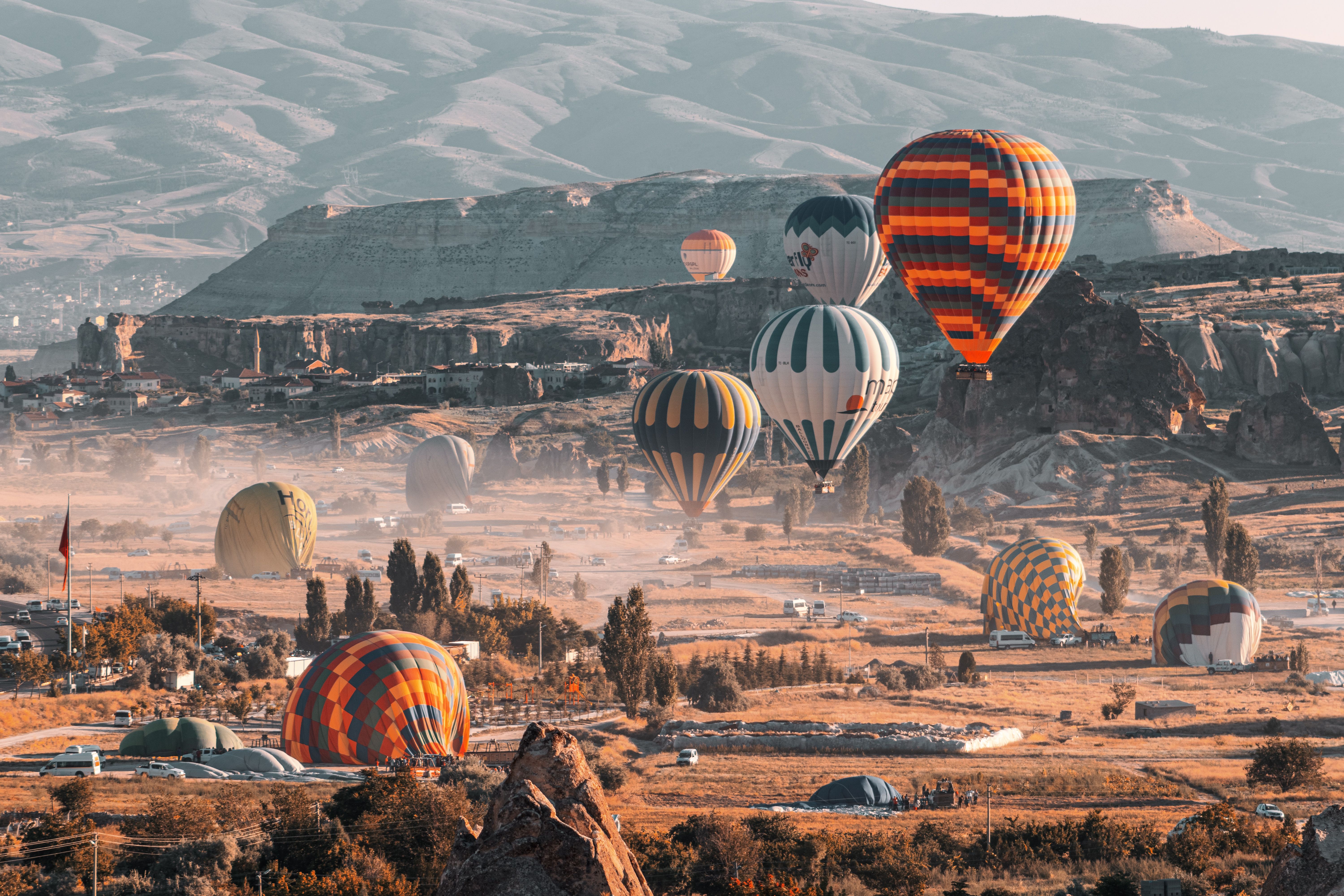
Sunrise Hot Air Balloon Ride in Cappadocia
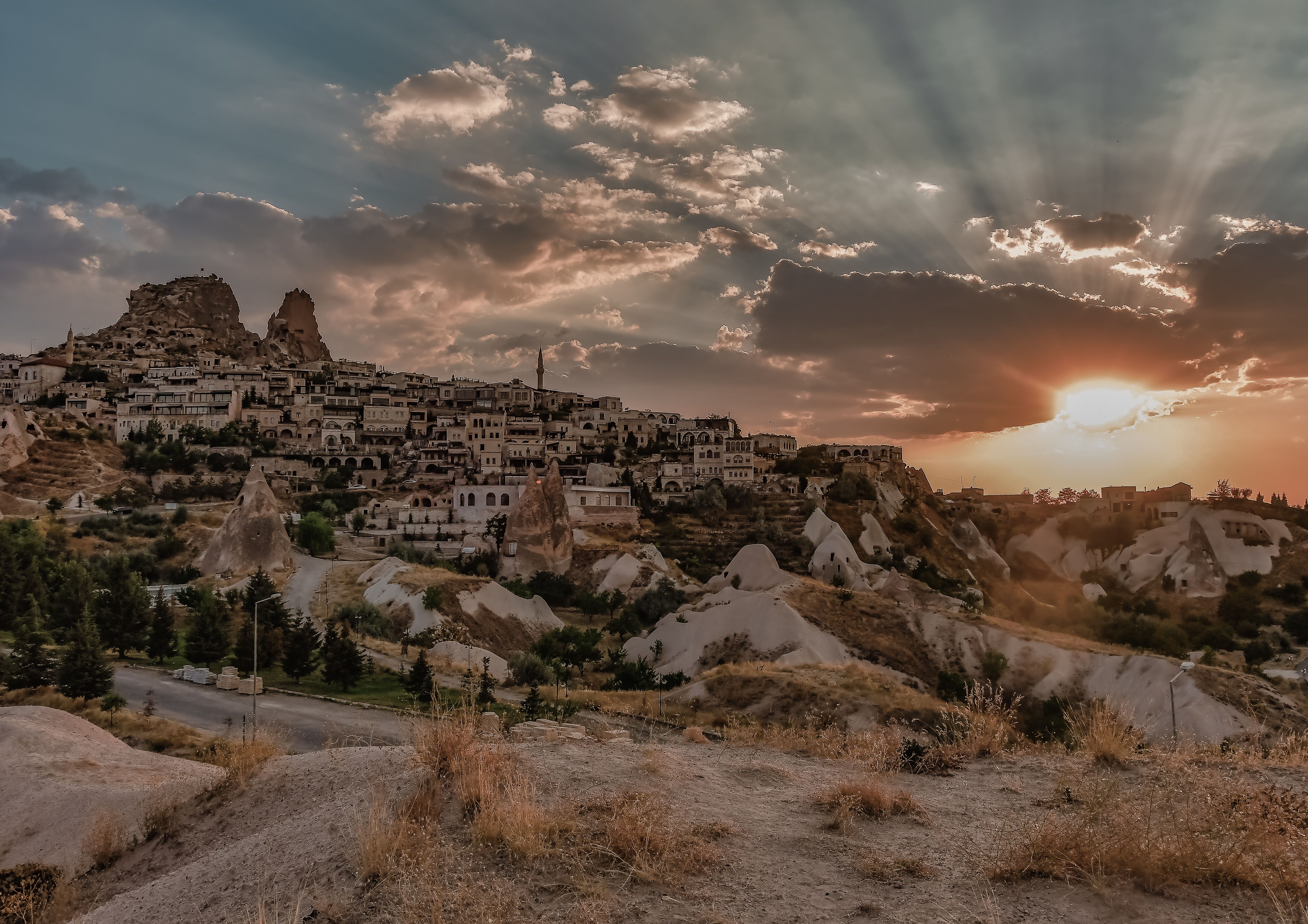
What to do In Cappadocia? Best Activities
Travel Guide: The Best Booking Resources
Below are my favorite companies to use when I travel. They are always my starting point when I need to book a flight, hotel, tour, car rental, or travel insurance.
- Booking.com – A reliable all-around booking site with a wide selection of hotels, guesthouses, and budget accommodation.
- Expedia – A useful platform for comparing hotels, flights, packages, and travel deals.
- Viator & Tripadvisor – Great for finding tours, activities, day trips, and local experiences.
- GetYourGuide – A large marketplace for tours, excursions, guided walks, food experiences, and activities.
- Airbnb – A good option for apartments, unique stays, and longer-term accommodation.
- Skyscanner – My favorite flight search engine. It searches budget airlines and smaller sites that larger platforms often miss.
- SafetyWing – Affordable travel medical insurance for digital nomads, long-term travelers, and people on the road.
- Discover Cars – A car rental comparison site that helps you find rental deals for road trips and airport pickups.